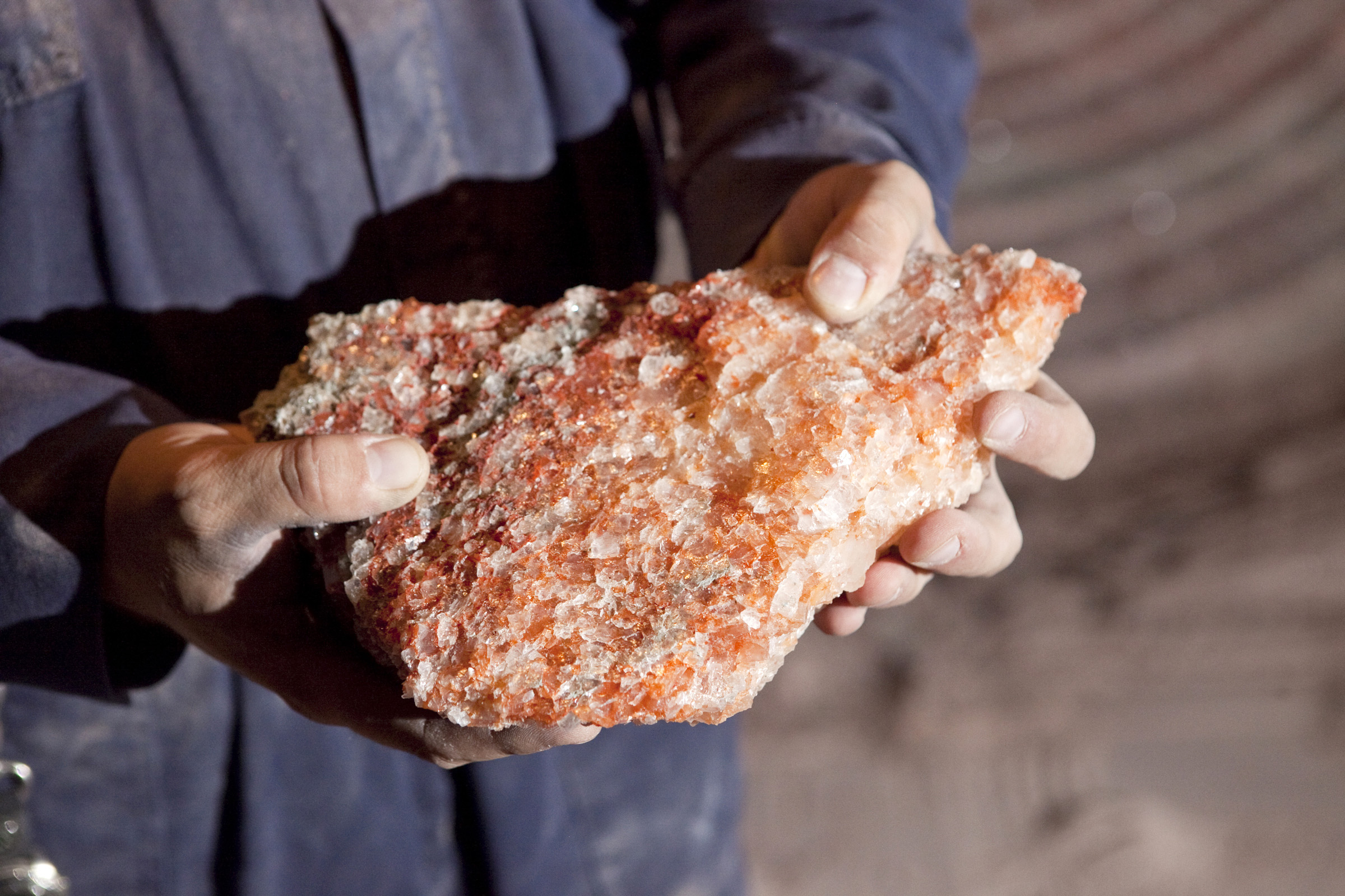
We help clients discover and define phosphate and potash resources through structured, data-driven exploration programs tailored to specific geological settings and project objectives.
Our integrated approach combines regional assessments, field investigations, geophysics, geochemistry, and drilling to reduce exploration risk and deliver robust, investment-ready resource definitions.
Structured, data-driven exploration strategies designed to reduce geological risk and support confident resource definition and project development.
Identification of prospective phosphate and potash exploration areas.
Field-based characterization of phosphate and potash occurrences.
Magnetic, EM, gravity, and seismic survey design & interpretation.
We support phosphate and potash discoveries through structured, geology-driven exploration programs designed to reduce uncertainty and accelerate decision-making.
Integrated desktop studies combining regional geology, geophysics, geochemistry, and historical datasets to identify and prioritize sedimentary basins, igneous complexes, and evaporite sequences prospective for phosphate and potash mineralization.
Detailed field investigations including mapping, reconnaissance, and outcrop sampling to characterize mineralization styles and geological controls across diverse phosphate and potash environments.
Design, supervision, and interpretation of ground and airborne surveys, with results integrated alongside geological and geochemical data to refine targets and support drilling decisions.
We support phosphate and potash projects through the critical transition from exploration success to compliant mineral resources, ensuring data quality, geological confidence, and regulatory alignment.
Systematic soil, rock, and stream sediment sampling programs designed to identify and delineate phosphate and potash anomalies. Programs are adapted to local terrain and geology, with analytical results interpreted within robust mineralization models.
Planning and supervision of diamond drilling, reverse circulation, and rotary air blast programs. Drill spacing, depths, and orientations are optimized based on geological understanding, with structured logging protocols and QA/QC systems.
Preparation of mineral resource estimates compliant with NI 43-101, JORC, and other international standards. Industry-standard software and methodologies are used to build defensible models suitable for regulatory submissions and investors.
Targeted sampling strategies supported by laboratory QA/QC and interpretation.
Supervised drilling campaigns with optimized layouts and data integrity.
Compliant resource estimation and technical reporting to global standards.